
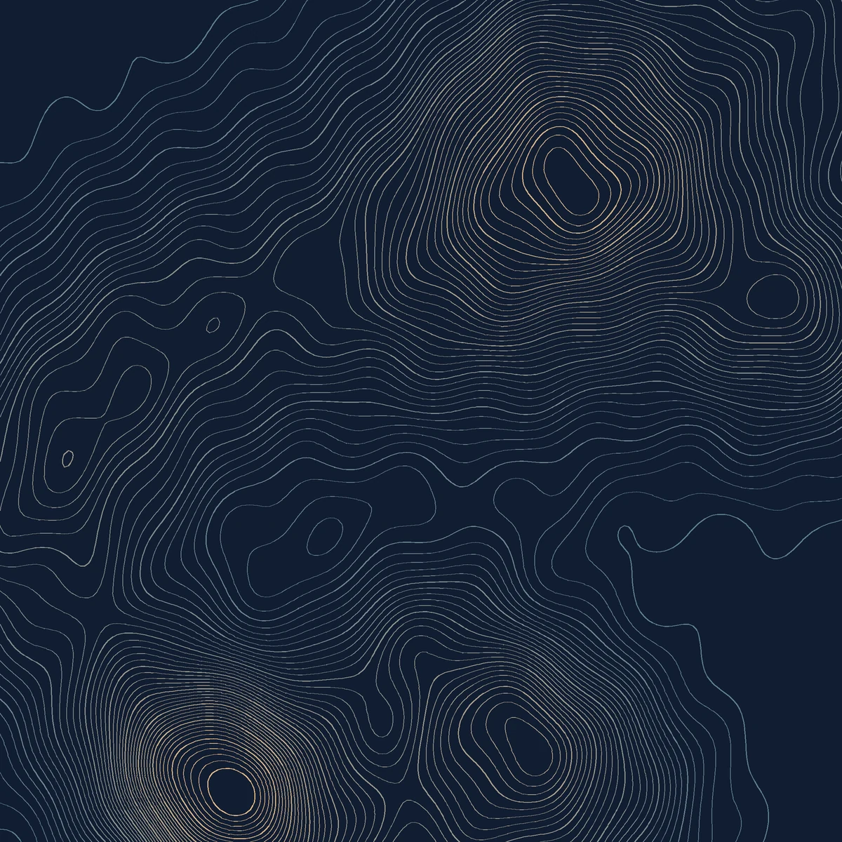
A seeded mixture of anisotropic hills forms a scalar terrain, or a local grayscale image supplies the height samples. Marching squares interpolates each requested contour level and resolves saddle cells consistently, producing editable line segments and a height-reference image. The procedural default and supplied heightmaps render locally. PopNow is optional for an abstract grayscale source after quote approval; generated imagery must not be presented as measured geography.
- Uses PopNow for
- Images
- Needs
- Python 3
Generation is optional when you have suitable input material.
v1.0.0 · Updated Oct 25, 2026 · 2.1 MB · Use it for personal and client work; please don't resell or share the package.
What you get
Topographic-art PNG and editable contour SVG
Grayscale height-reference proof
Contour ledger and portable reconstruction brief
Good for
- Abstract topographic art prints
- Visual studies from licensed grayscale heightmaps
Not for
- Survey-grade maps, coordinates or geographic accuracy
- Inferring real elevation from an ordinary photograph
How it works
Includes a local renderer
Choose the input
Choose a procedural seed or supply a grayscale heightmap.
Render and inspect
Extract the levels and compare them with the height-reference proof.
Adjust and export
Adjust contour density and palette, then export the actual paths.
How the workflow runs
How Contour terrain poster works
A seeded mixture of anisotropic hills forms a scalar terrain, or a local grayscale image supplies the height samples. Marching squares interpolates each requested contour level and resolves saddle cells consistently, producing editable line segments and a height-reference image.
What's inside the skill
What you can change
- contour_levels: 12–80 levels
- relief_scale: 0.4–2.5 height remapping
- line_width and three-color palette
- seed or optional local heightmap
What to review before delivery
- The contour ledger contains the requested number of height levels.
- Both default and modified examples emit more than 500 actual line segments.
- The saved brief reproduces the PNG and SVG; unsafe replacement is rejected.
See the package files
These are selected working files from this edition, with their actual role. The complete download also contains instructions and applicable license notices.
The domain algorithm and invariant checks.
scripts/recipe.pyRunnable, editable example parameters.
examples/brief.jsonControl meanings, proof interpretation and limits.
references/design-notes.md
Why use this skill
Start with this package
The workflow supplies a real scalar field and contour extraction instead of an image merely styled as a map. The height proof and segment ledger make the relationship inspectable.
What PopNow adds
Use PopNow for the missing Images in this workflow. Keep adequate material you already own, then bring new assets back into the editing and assembly steps described here.
Compare the options
A prompt, your own skill, or this workflow?
Start with a prompt
Your agent can create from a plain request. The brief, visual rules, asset choices, output format and review process still need to be established for that project.
Write your own skill
You choose and maintain the reusable instructions, defaults, file structure and checks. This is useful when your process needs different rules or integrations.
A workflow created for PopNow
This workflow was built for PopNow. Its source files, included dependencies and applicable notices are part of the package; the scope described below belongs to this edition.
Guide reviewed Oct 25, 2026
What will this cost?
The procedural default and supplied heightmaps render locally. PopNow is optional for an abstract grayscale source after quote approval; generated imagery must not be presented as measured geography.
Generation is optional when you have suitable input material. Free skill. New media is quoted before it runs.
The skill package
Free to install under your account's download allowance. The package license covers your own and client work; redistribution is excluded.
Existing assets and local work
Reusing suitable assets, editing files and running local assembly do not call a PopNow generation model. Your computer and any required runtime still do the work.
New AI images, clips or sound
Quoted for the actual model, inputs, count, duration and resolution. Extra alternatives, revisions or optional enhancement passes can add generation requests.
Your agent and hosting
Any subscription, hosted computer, deployment or other provider fee belongs to that service. Installing this skill does not include those services.
Check the cost of your version first
Your assistant can inspect the available models and quote the exact request first. You choose which optional passes to include and approve spending before generation.
Ask your assistant
Use the PopNow skill "Contour terrain poster" for my project. List the inputs you can reuse, quote only the missing media, show the quoted total and flag any unpriced steps. Separate optional enhancements, and wait for my approval before starting anything paid.
How PopNow billing works
Connections using a PopNow API key, including API-key MCP connections, spend from the separate API balance in USD. A ChatGPT or Claude connection authorized through OAuth spends website credits. These balances are separate; the quote shown by your connection is the approval basis.
Download allowances and current account conditions apply. A free package does not mean unlimited free generation.
How to use it
You say
Use the PopNow skill "Contour terrain poster" (contour-terrain-poster) for this: Choose a procedural seed or supply a grayscale heightmap. Use the packaged example as a starting point and return the actual artwork with its editable inputs.
Then try
Rebuild a visibly different version using contour_levels: 46 → 21; seed: 91 → 23.
Explain the result using its actual proof files and algorithm ledger.
What to have ready
- A seed for synthetic terrain, or an owned grayscale heightmap
- Contour density and palette
- Python 3.10+, Pillow and NumPy
Similar skills
View all →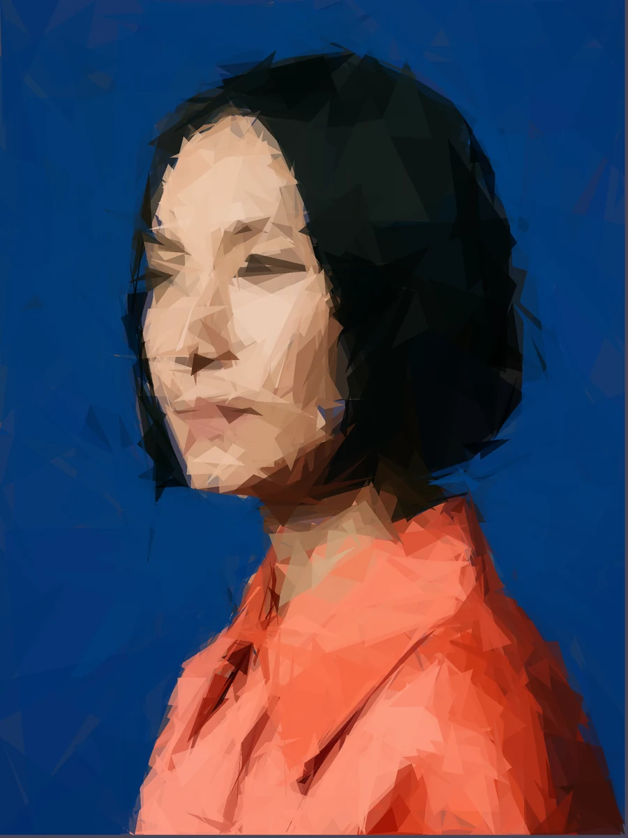 Image
Geometric shape portrait
+25Rebuild a portrait from translucent triangle layers that remain individually editable in SVG.
 Image
Aperiodic mosaic art
+25Create a colored rhombus mosaic from a five-direction grid, with no repeating wallpaper tile.
 Image
Stained Glass Suncatcher Design
+25Build a textured botanical glass artwork from closed flower, leaf and irregular background panes.
 Image
Double Exposure Silhouette
+25Blend a separate landscape through an explicit silhouette mask, keeping both layers and the mask editable.
 Image
Embroidered Travel Patch
+25Create a tactile patch concept with a limited thread palette, a cut contour and a practical design handoff.
 Image
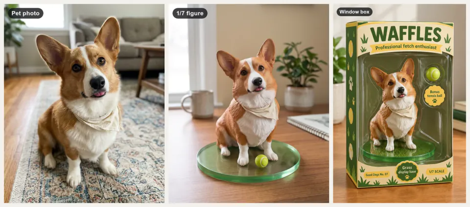
Collectible Figure Mockup
+25You, your pet or your own character as a desk figure, a boxed toy, a cut-out and a turntable clip.
 Image
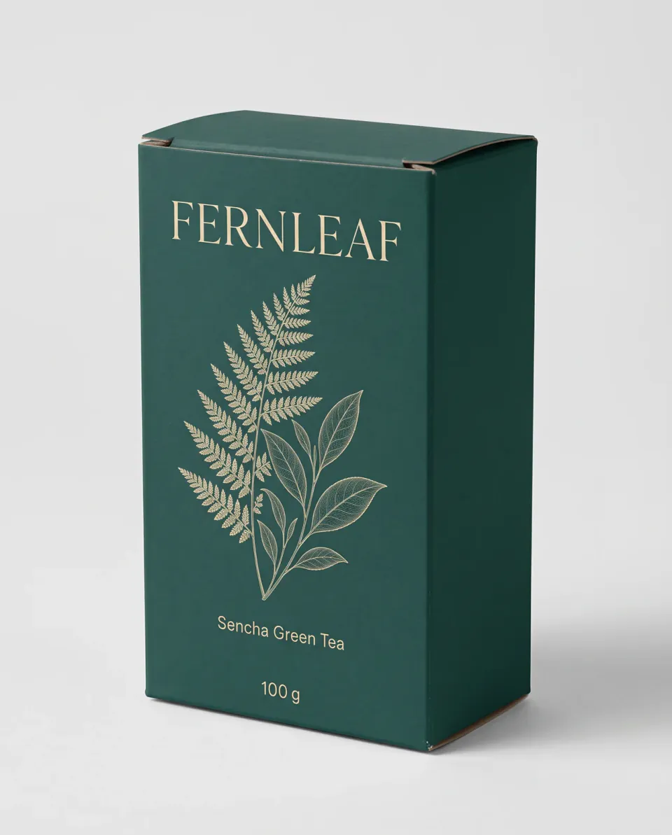
Packaging Mockup Generator
+25Your flat packaging art on boxes, pouches and jars, in shelf and unboxing scenes, checked word for word.
 Image
Embossed letterpress poster
+25Shape real font glyphs into a shaded paper relief, with editable type outlines and lighting.
 Image
Guilloche rosette maker
+25Draw fine ornamental rosettes from exact gear ratios and export the closed vector paths.
 Image
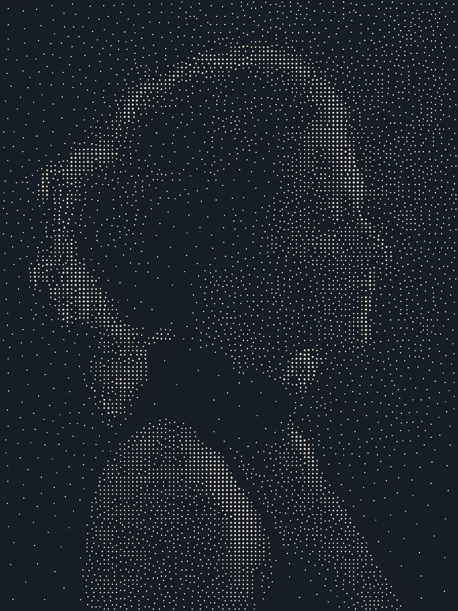
Stippled ink portrait
+25Turn photographic tone into thousands of individually editable ink dots and a close-up proof.
 Image
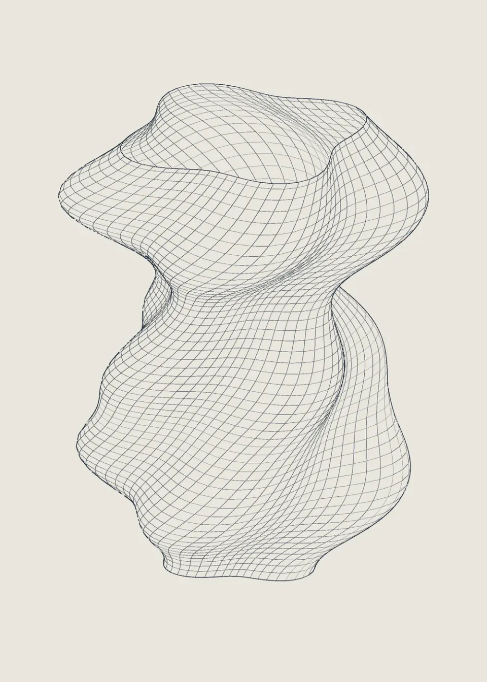
Wireframe sculpture print
+25Render a twisted three-dimensional sculpture as editable lines with real hidden-surface removal.
 Image
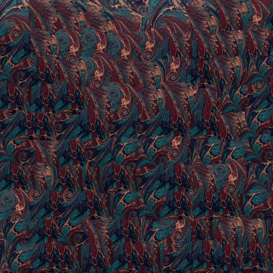
Image quilting studio
+25Grow a texture swatch into a larger artwork using matched patches and actual minimum-cost seams.
 Image
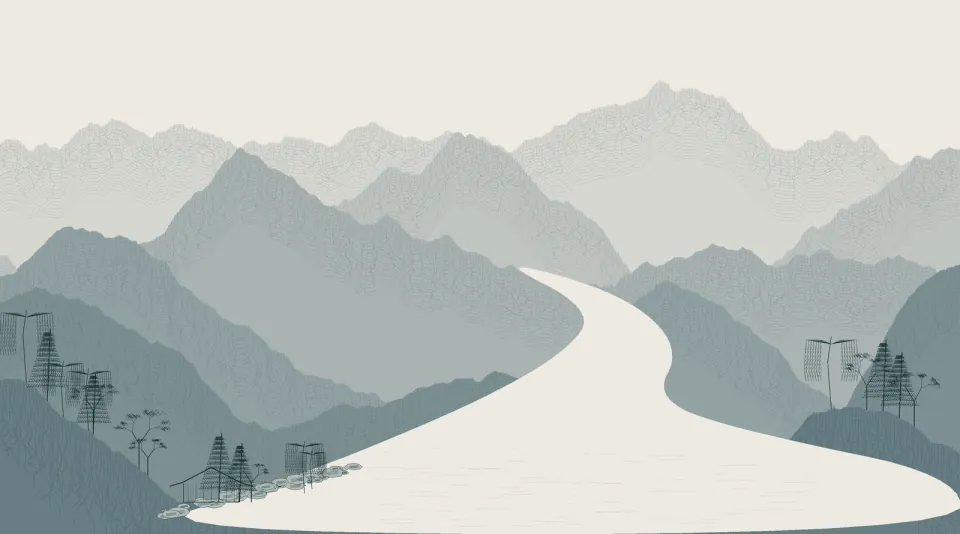
Procedural ink landscape
+25Build a panoramic ink landscape from seeded ridges, textured strokes, trees and open water.
 Image
Invented specimen etching
+25Draw an imaginary fish with organic fin contours, individual scales and layered engraving strokes.
 Image
Hybrid distance illusion
+25Blend two aligned images by frequency so the visible subject changes with viewing scale.
 Image
Stereo anaglyph shadowbox
+25Project a declared 3D scene through two cameras and combine the views into a red-cyan depth image.
 Image
Calligram silhouette poster
+25Build a silhouette from real words, with collision-aware placement and editable SVG text.
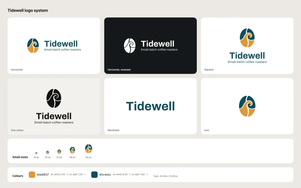 Image
AI Logo Generator
+25Pick from 3-5 symbol directions, get an SVG logo kit with lockups, one-colour versions and favicons.
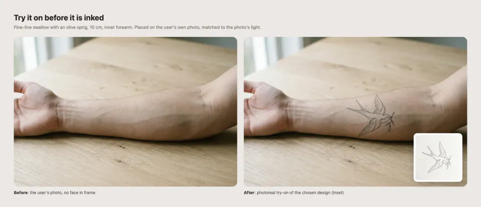 Image
AI Tattoo Design Studio
+25Create your own tattoo design in three styles, then a real-size stencil and a try-on on your own photo.
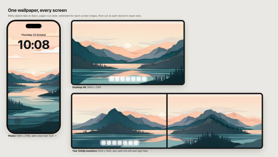 Image
AI Wallpaper Generator
+25One original wallpaper, extended and upscaled for every screen: phones, 4K-5K, ultrawide and dual monitors.
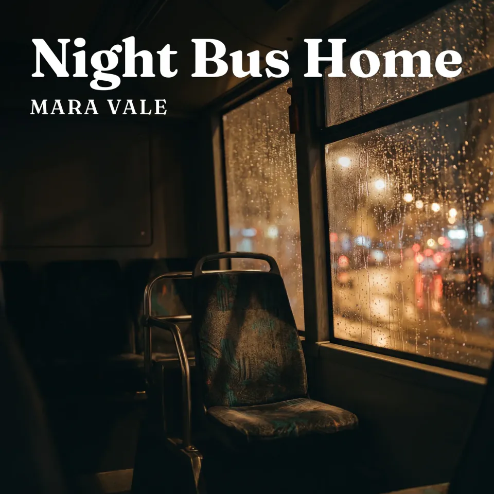 Image
Album Cover Art Kit
+25Song title and mood in, a 3000x3000 cover with exact type, a seamless loop and promo images out.
 Image
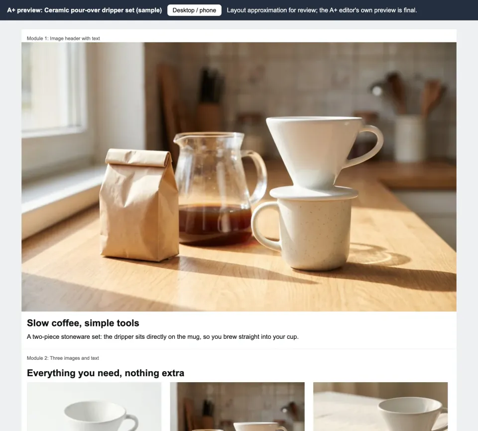
Amazon A+ Content Builder
+25Product photos and facts in; exact-size A+ module images, claim-checked copy and a phone preview out.
 Image
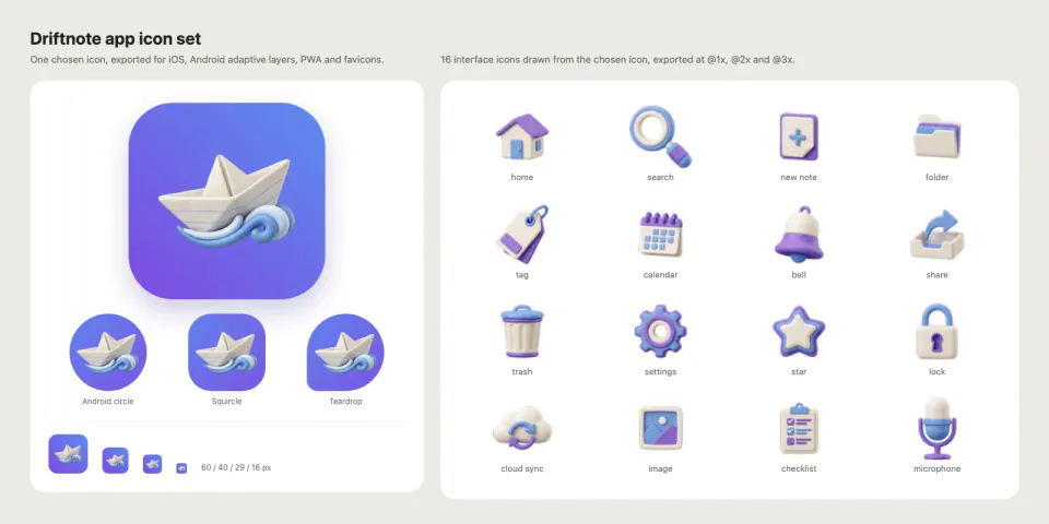
App and UI Icon Generator
+25One app icon and 10-30 matching UI icons, exported for iOS, Android adaptive, PWA and favicons.
 Image
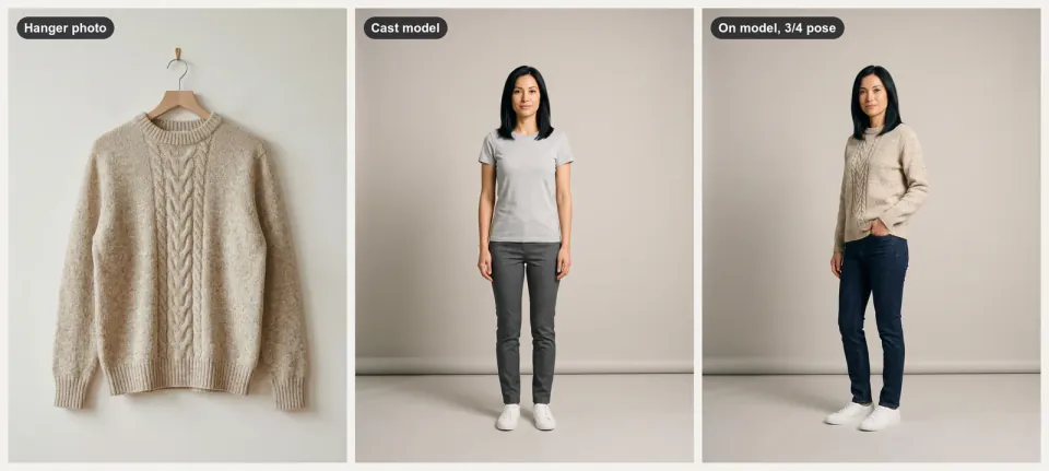
Apparel On-Model Lookbook
+25Flat-lay clothing photos in, a lookbook on one AI-generated model out, with poses, angles and walk clips.
 Image
Barrier Grid Animation Card
+25Interlace painted hummingbird poses and reveal them through an actual sliding barrier grid.
 Image
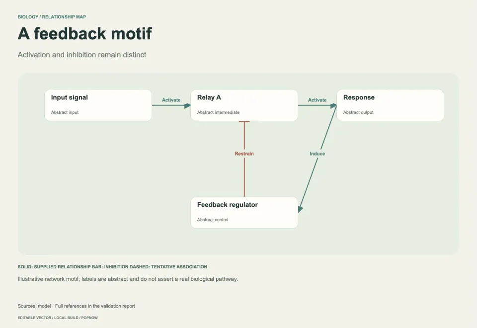
Biological Pathway Diagram
+25Create editable pathway maps with checked node links, explicit interaction types and evidence notes.
 Image
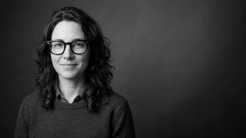
Black and White Studio Portrait
+25Turn an everyday photo into a calm black-and-white studio portrait that still looks like you.
 Image
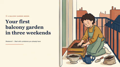
Blog Post Illustration Set
+25Three matching illustrations for one article, each showing what its passage actually says.
 Image
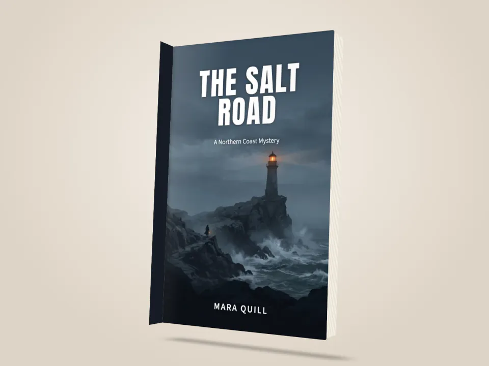
Book Cover Designer
+25Title, author and genre in: three cover directions, an exact-type ebook cover and a print-ready wrap.
 Image
Brand Kit & DESIGN.md Generator
+25A brand kit from a short brief: checked palette, open fonts, SVG logo, mockups and a DESIGN.md agents follow.
 Image
Calm Illustrated OG Image Maker
+25Friendly link previews: ivory field, floating phones, soft doodles and a rounded headline, at 1200x630.
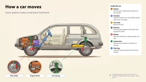 Image
Car Cutaway Anatomy Poster
+25A side-view cutaway of a generic car: color-coded systems, numbered markers and round zoom windows.
 Image
Carousel Post Maker
+25Article or opinion in, a 6-10 page carousel out: LinkedIn PDF, Instagram 4:5 and RedNote 3:4.
 Image
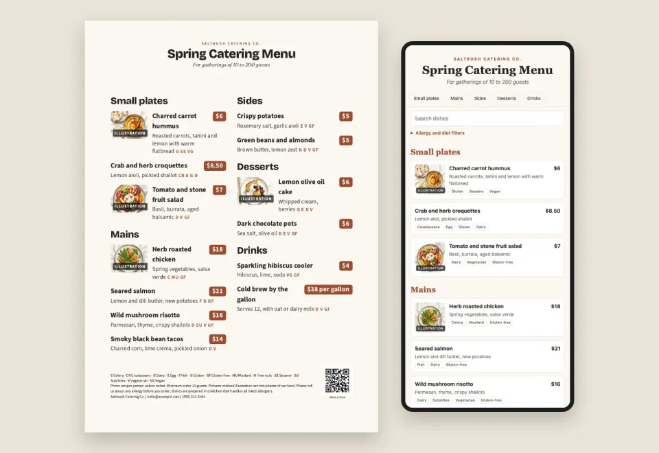
Catering Menu Designer
+25A menu spreadsheet in: a print menu, tri-fold, table tent and a phone menu for a QR code, prices checked.
 Image
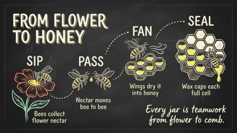
Chalkboard Infographic Maker
+25A 16:9 chalkboard-style infographic with exact short copy, chalk drawings and one clear reading path.
 Image
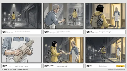
Cinematic Storyboard Frames
+25Three storyboard contact sheets for one scene, each a different way to shoot it, with continuity kept.
 Image
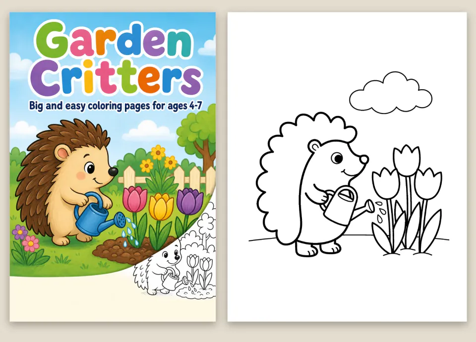
Coloring Book Generator
+25A theme in, a print-ready coloring book out: clean line art, 300 DPI pages and a paperback interior PDF.
 Image
Concept Metaphor Illustration
+25One idea, one hand-drawn visual metaphor: flat muted color, off-white cut shapes, loose black marker lines.
 Image
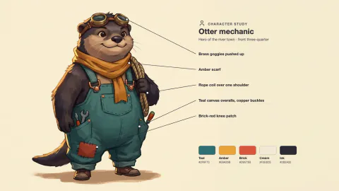
Consistent Concept Art Set
+25A character, a prop and an environment that clearly belong to the same fictional world.
 Image
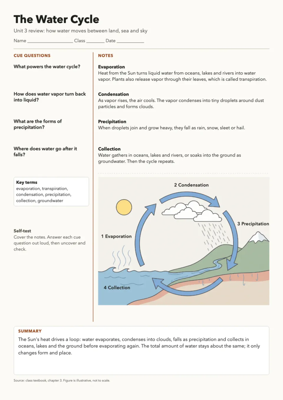
Cornell Notes Study Sheet
+25A printable two-column revision page with cue questions, notes, a drawn figure and a fill-in practice copy.
 Image
Cute Crayon Doodle Art
+25Lovably clumsy crayon characters on white paper: wobbly lines, scribbled fills, sharp files, sticker cut-outs.
 Image
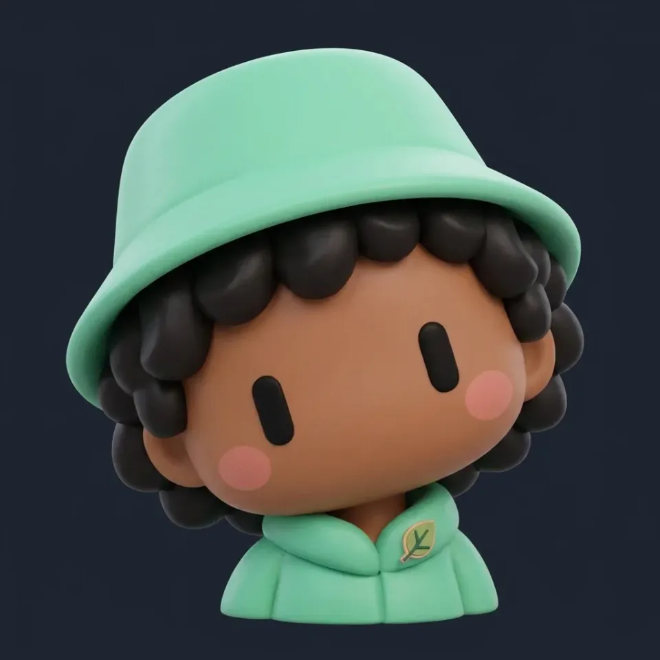
Cute Mascot Avatar Maker
+25Round, two-eyed mascot avatars or chibi vinyl-toy characters, with a cut-out and a profile-size set.
 Image
Cyanotype Botanical Print
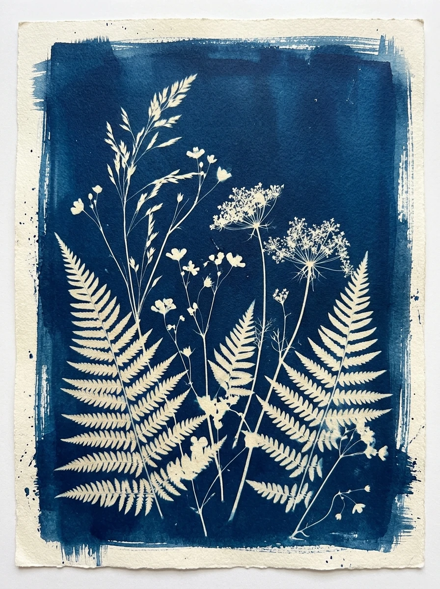
+25Compose a blue-and-white botanical contact-print artwork with paper borders and measured tonal separation.
 Image
Die-Cut Sticker Sheet Maker
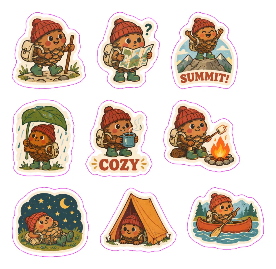
+258 to 24 matching stickers, cut out with white borders, on print-ready A4 or Letter sheets plus chat packs.
 Image
Ecommerce Product Photo Studio
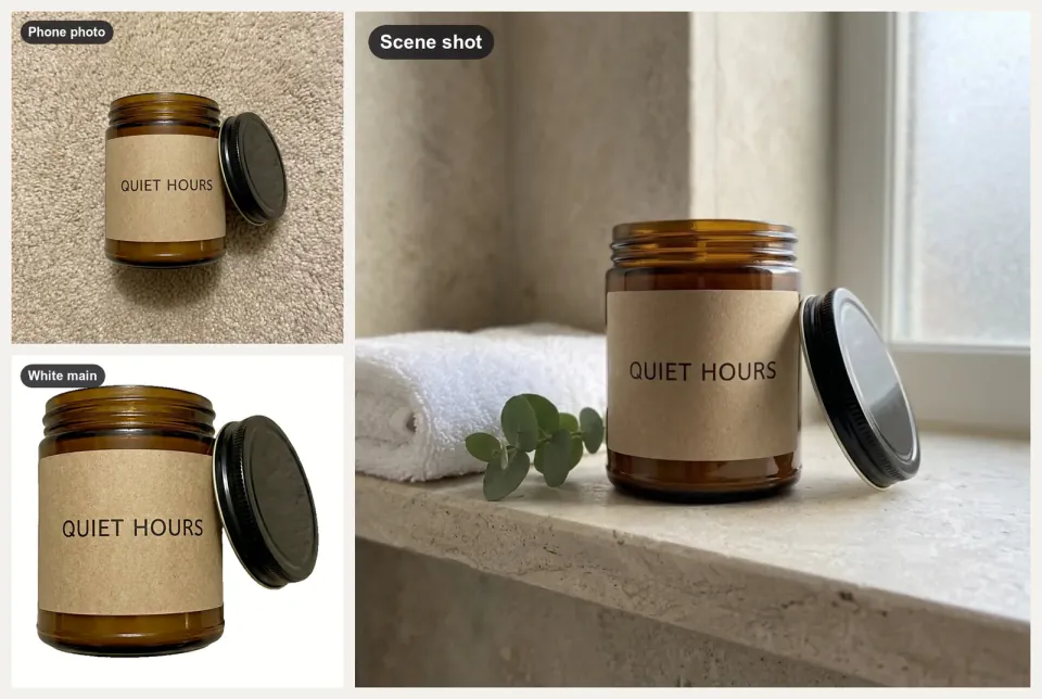
+25A folder of product snapshots in, white main images, scene shots and banners out, checked for Amazon and Etsy.
 Image
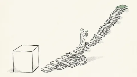
Editorial Line Illustration
+25Airy black-ink illustrations with one accent color for blog headers, newsletters and social cards.
 Image
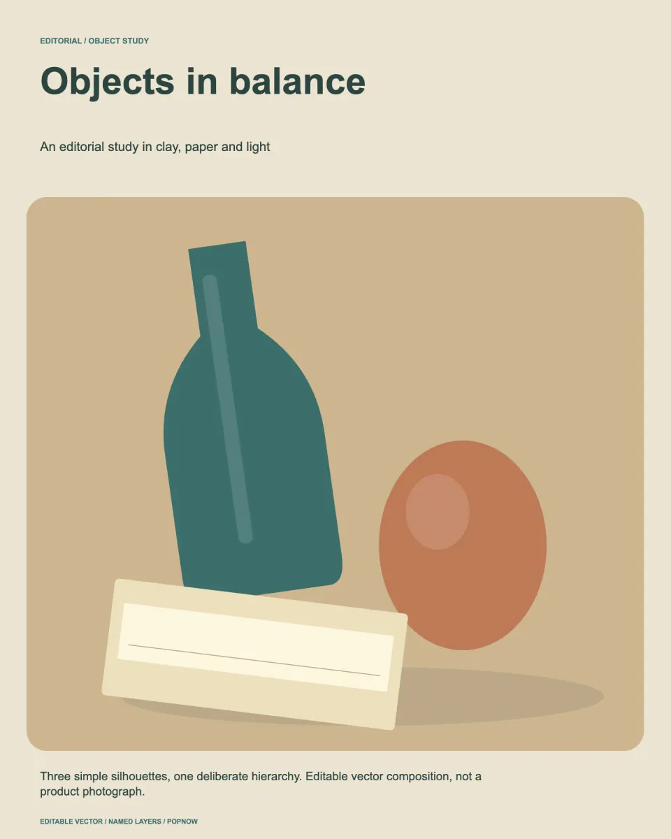
Editorial Still Life Composition
+25Compose editable object studies with rotated-boundary checks, deliberate layering and a print-ready SVG.
 Image
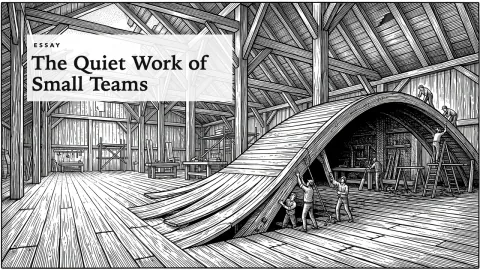
Engraving Style Article Cover
+25One surreal black-ink engraving per essay: crosshatched, edge to edge, its big idea shown as a single scene.
 Image
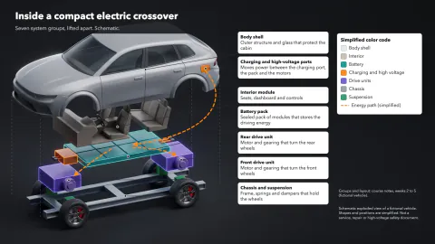
EV Platform Exploded View
+25An electric car lifted apart layer by layer: battery, motors, cabin and body in color, with callouts.
 Image
Event Flyer Maker
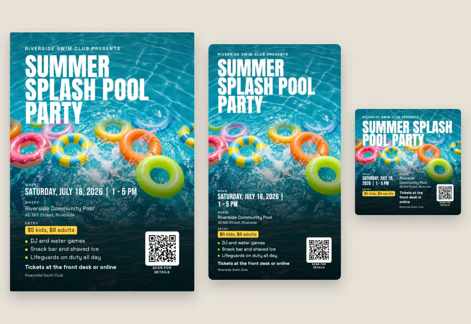
+25Event details in: a flyer for A4, Letter or A5 print plus square, portrait and story images, with a QR code.
 Image
Product Exploded View Poster
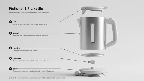
+25A clean exploded-view hero image of a product, with exact part labels from your spec table.
 Image
Fantasy Map Generator
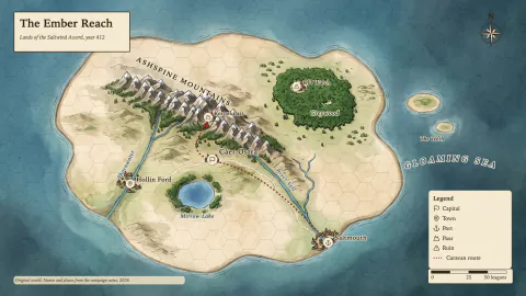
+25Parchment, atlas or black-line maps of your own world, every name lettered right, grids that line up.
 Image
Film Poster OG Image Maker
+25Quiet, poster-like link previews: black-and-white close-up, one huge black word, film grain, exact 1200x630.
 Image
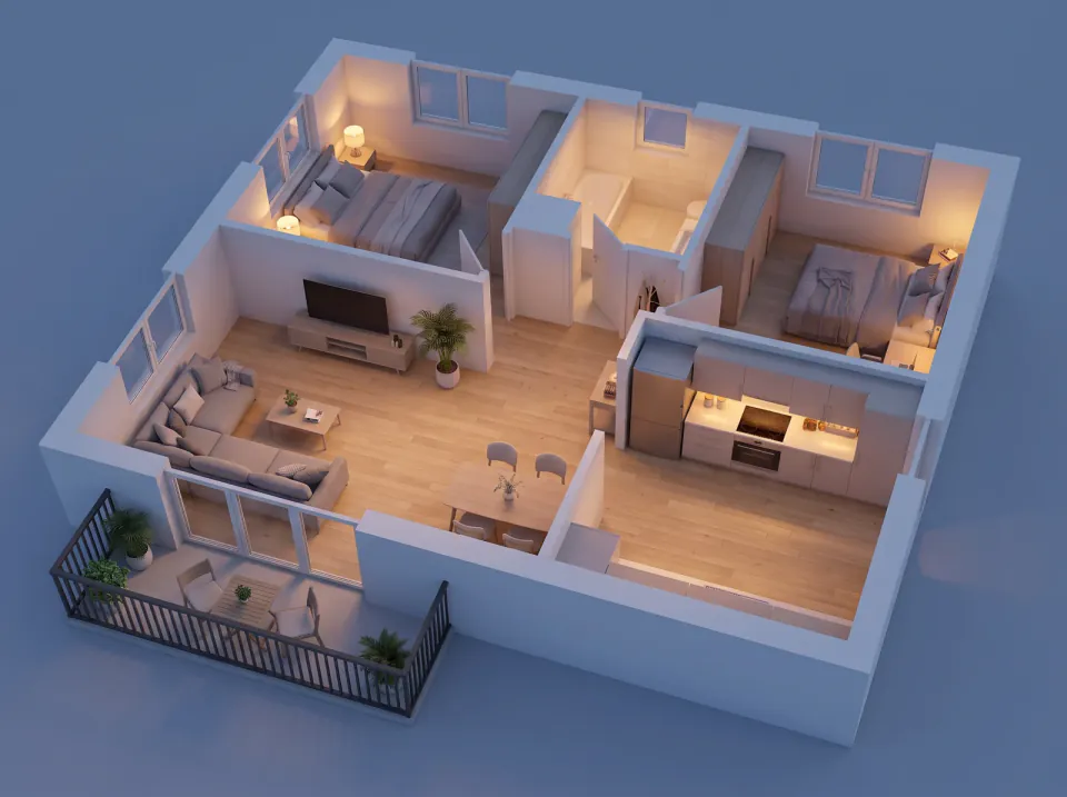
Floor Plan to 3D
+25A 2D floor plan in, a furnished 3D floor plan out: bird's-eye, angle and evening views plus a showcase page.
 Image
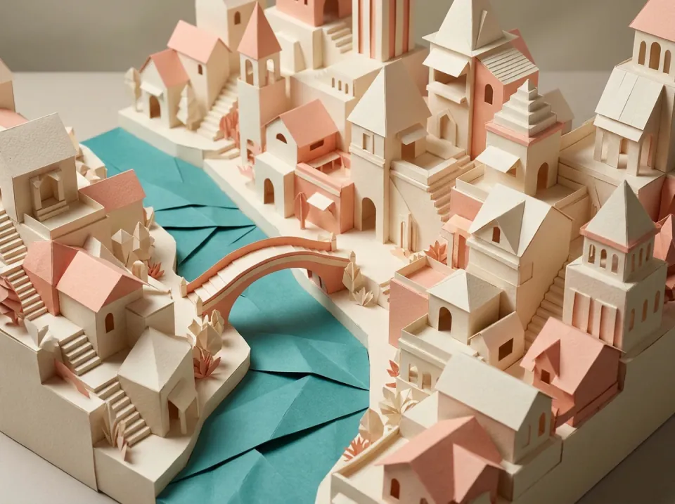
Folded Paper Cityscape
+25Create a sculptural paper-city artwork with editable framing, named fold guides and a consistent light plan.
 Image
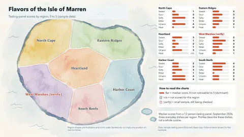
Regional Food Flavor Map
+25A calm painted map of regions, each with a small taste chart on one shared scale and an honest legend.
 Image
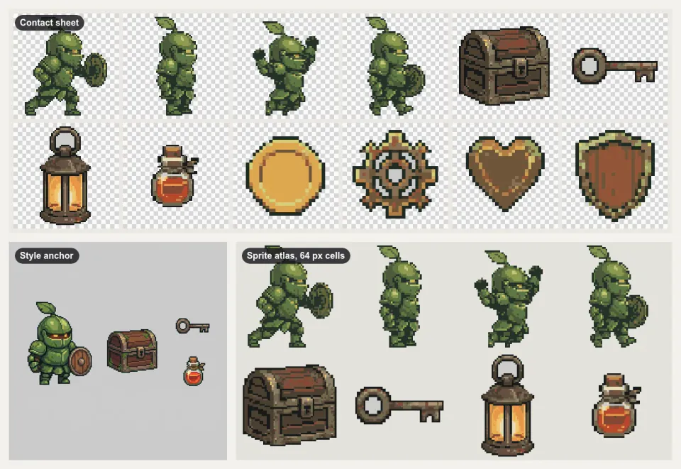
2D Game Asset Pack Maker
+25A matching 2D game art pack: posed character, tiles, props and icons, packed into sprite sheets with JSON.
 Image
Hidden Stereogram Poster
+25Hide a simple depth shape in a repeating random-dot image, with a plain depth reference always included.
 Image
Holiday Card & Invitation Maker
+25One greeting in: print-ready 5x7 cards, social and story versions, an animated e-card and an RSVP page.
 Image
Illustrated City Map Maker
+25A hand-drawn style map of a neighborhood or town, true where it matters and labeled exactly.
 Image
Industrial Specification Poster
+25Build editable technical posters with normalized dimensions, tolerances and traceable specification tables.
 Image
Ink Sketch Storyboard
+25A rough black-ink storyboard page from a short story: open lines, white space, one beat per panel.
 Image
Interlaced Knot Art
+25Draw a closed, lustrous woven knot with real over-and-under crossings and editable vector paths.
 Image
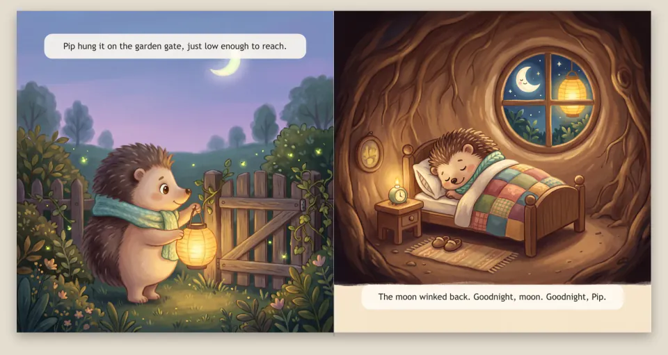
Kids Picture Book Maker
+25A story idea in, a printable picture book out, with one consistent hero, a web flip-book and a bedtime video.
 Image
Line Art OG Image Maker
+25Calm link-preview images: off-white card, short black headline and a hand-drawn ink character.
 Image
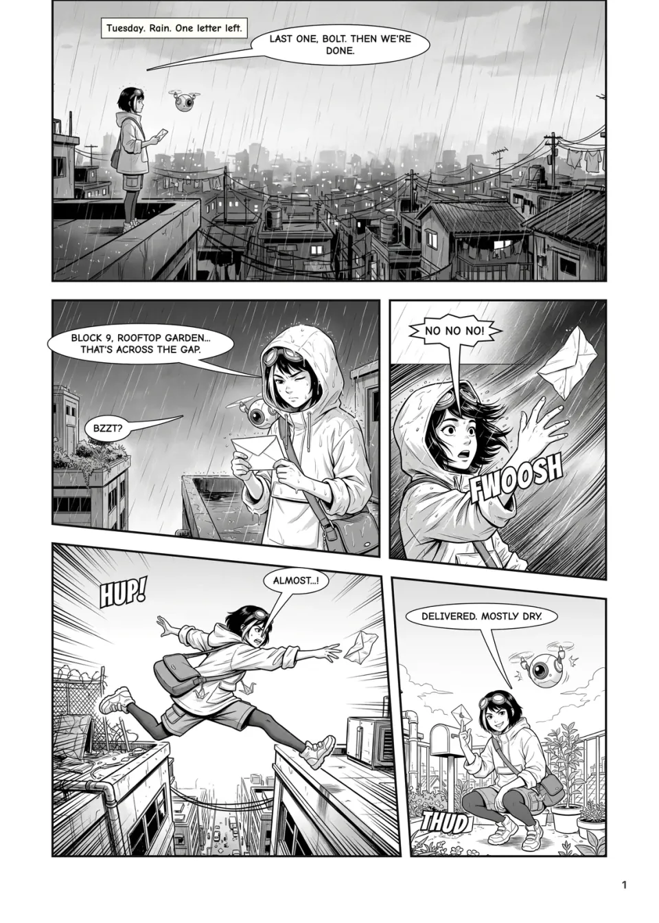
Manga Panel Maker
+25Original manga pages from your script: locked characters, real panel layouts and lettering in real fonts.
 Image
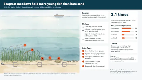
Marine Biology Research Poster
+25A wide research poster around a painted habitat cross-section, with numbered species and a findings chart.
 Image
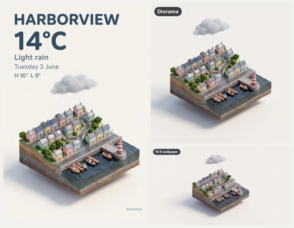
Miniature Diorama & Weather Card
+25Tiny isometric cities, rooms and tilt-shift scenes, with exact-text weather cards, a loop and 4K wallpapers.
 Image
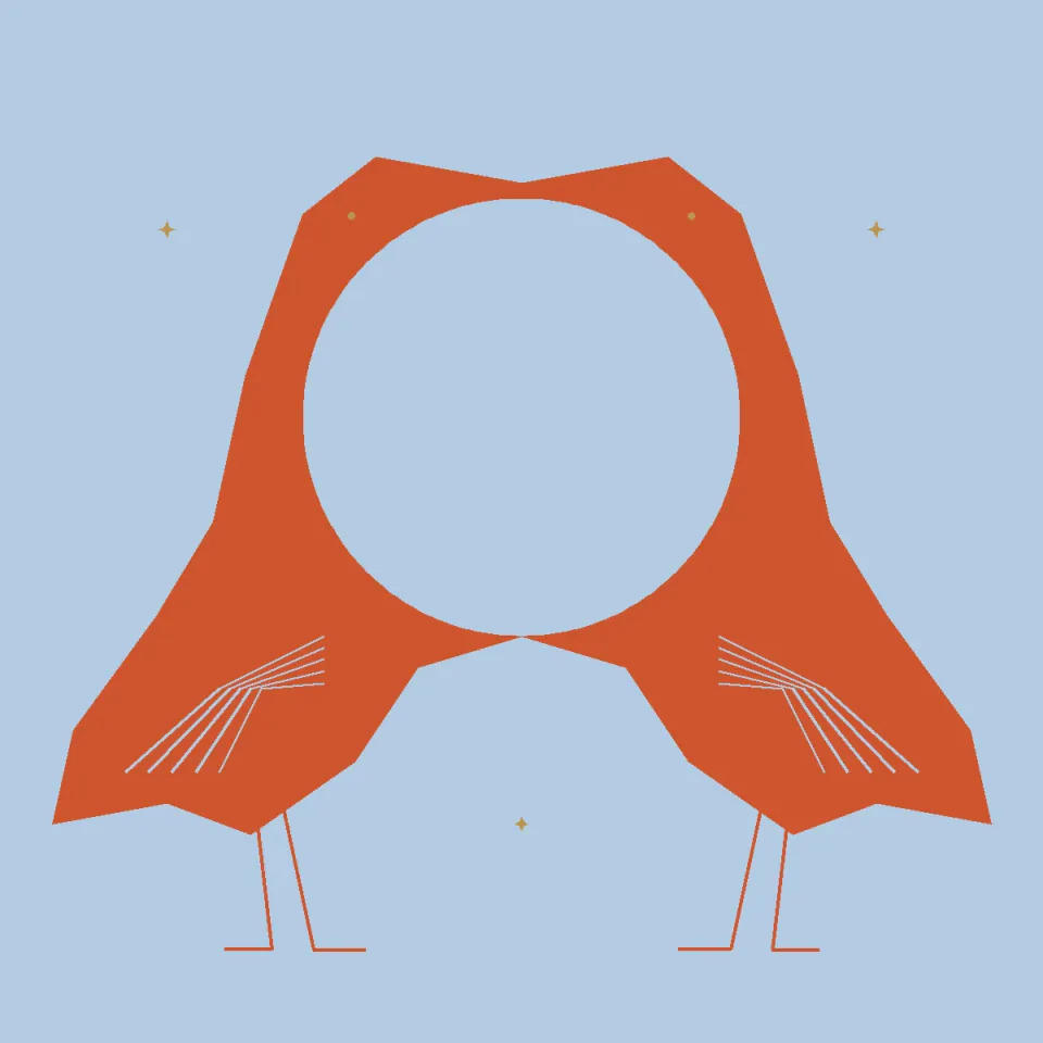
Negative Space Illusion
+25Two cranes frame one full moon through an exact shared boundary; swap figure and ground to read it again.
 Image
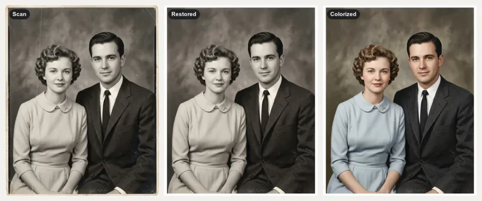
Old Photo Restoration
+25Scratched, faded family photos in, faithful restorations, color estimates and gentle living photos out.
 Image
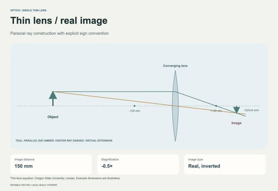
Optical Experiment Diagram
+25Draw editable thin-lens ray diagrams with calculated image distance, magnification and units.
 Image
Pet Portrait Studio
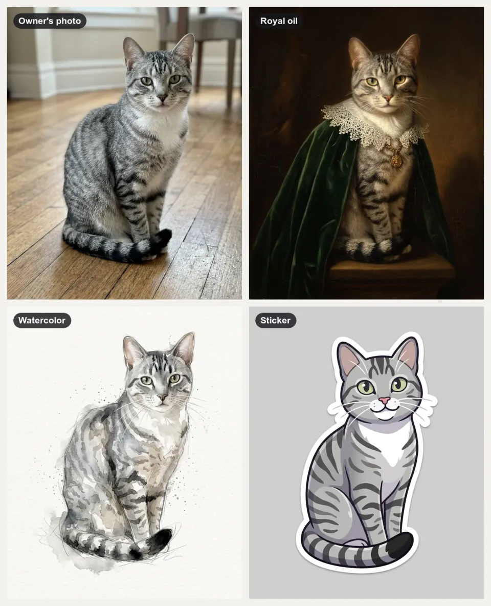
+25Your pet in the styles you pick, plus a sticker, a short clip and print files, with every marking kept.
 Image
Phone Mockup Generator
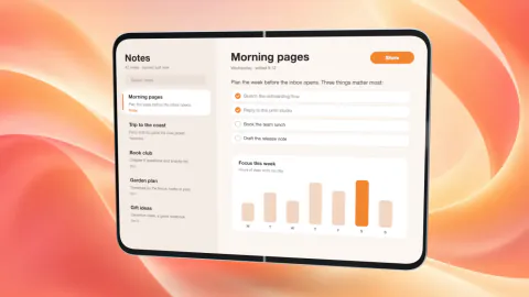
+25Your app on a 3D foldable phone that swings open on a soft backdrop, as crisp PNG stills or a fold clip.
 Image
Photo Composition Studies
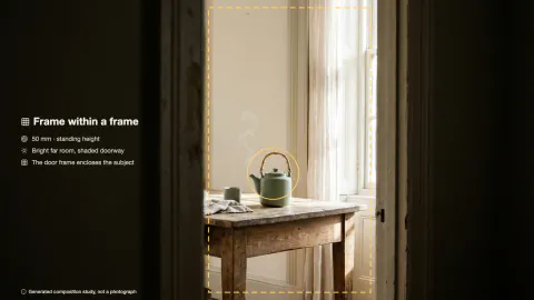
+25Three photographic takes on one subject, each built on a different composition principle.
 Image
Photo Mosaic Memory Poster
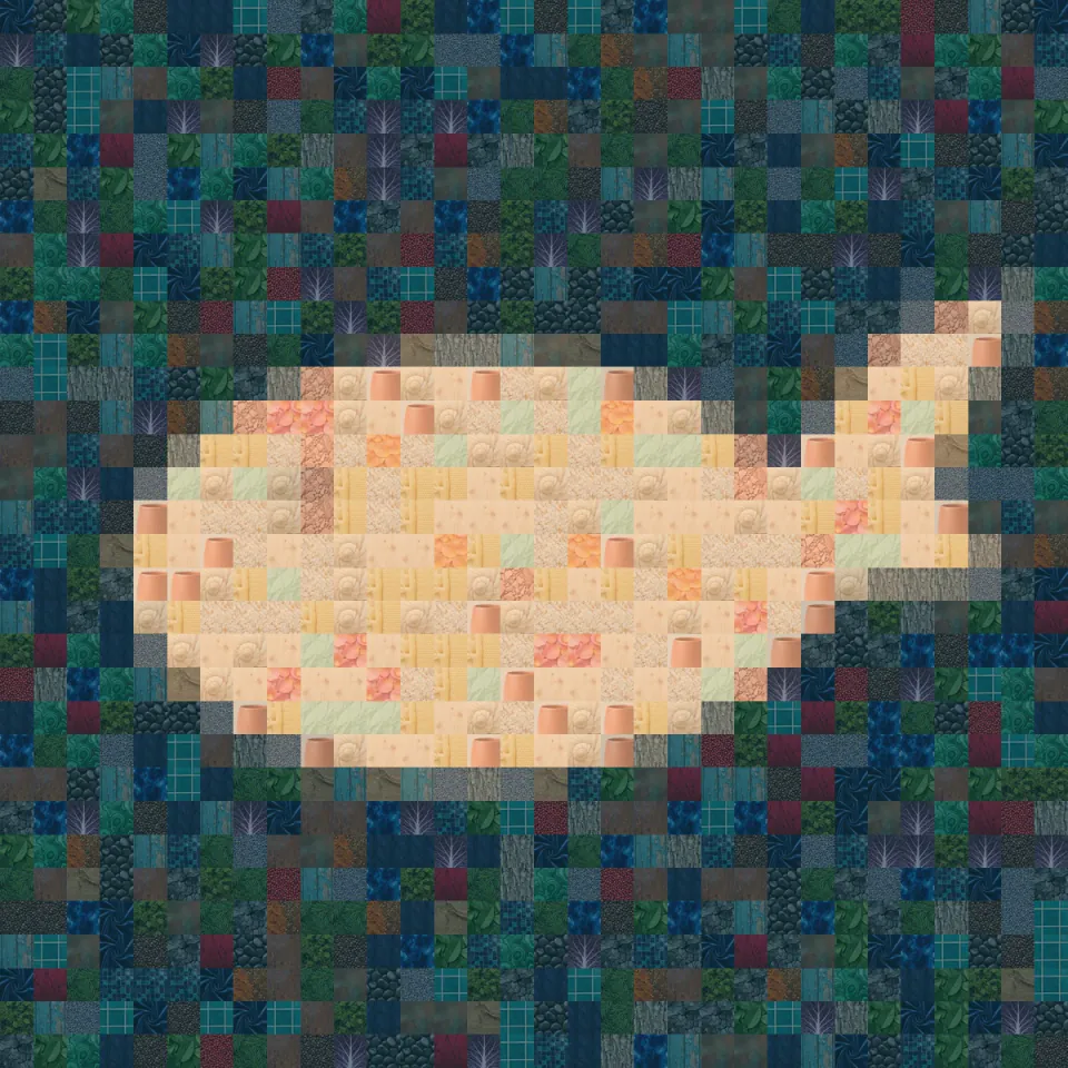
+25Build a recognizable silhouette from photo tiles, with every crop and reuse count recorded.
 Image
Product Cross-Section Diagram
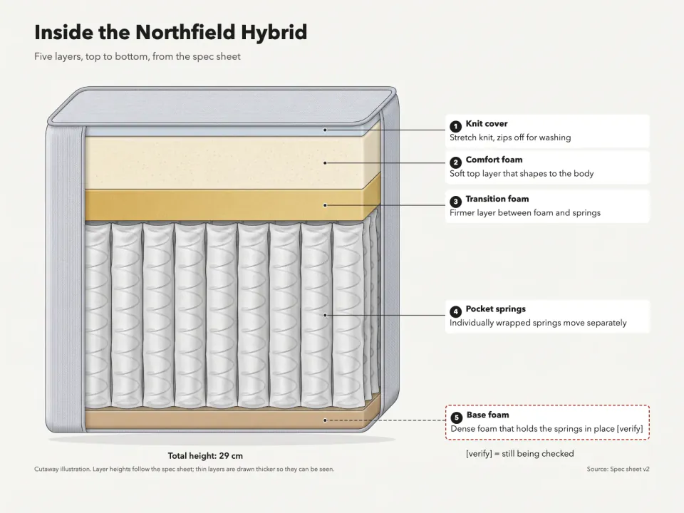
+25A cutaway of your product showing each layer in real order, with numbered callouts from your spec sheet.
 Image
Quote Card Maker
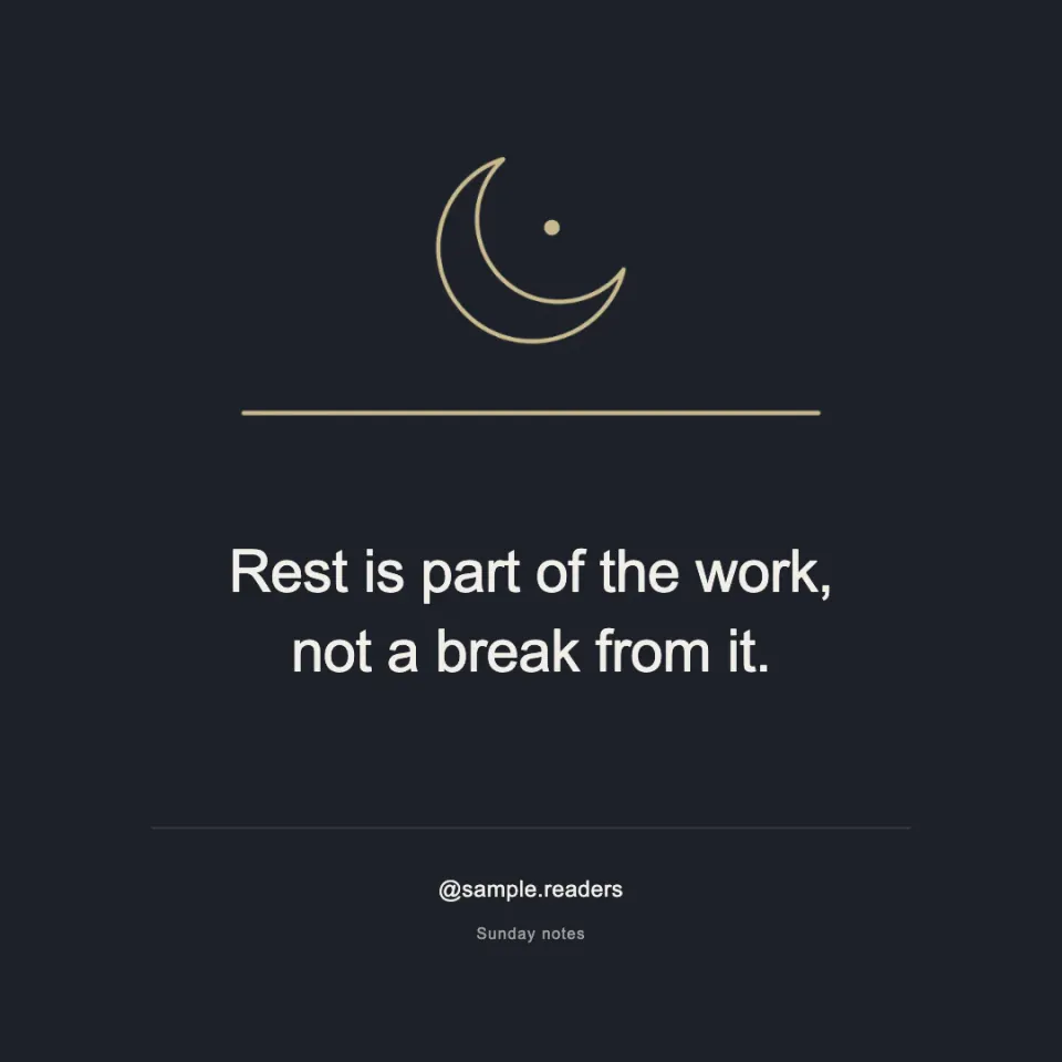
+25Square and 4:5 quote cards with exact text, a checked credit or handle, and a line drawing of the idea.
 Image
Real Estate Listing Photo Kit
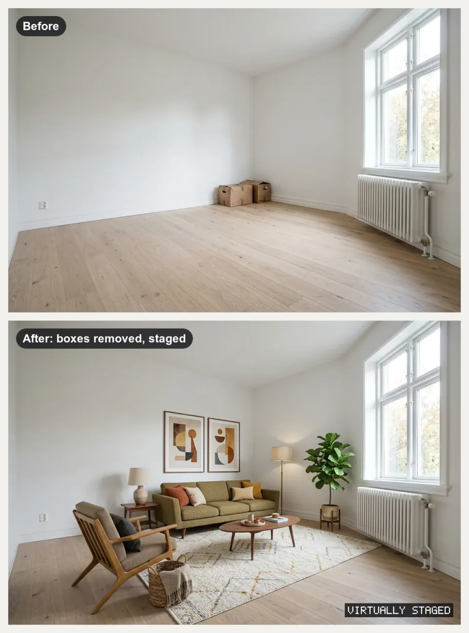
+25Property photos in, cleaned and labeled listing images, staged rooms, tour clips and a listing PDF out.
 Image
Research Graphical Abstract
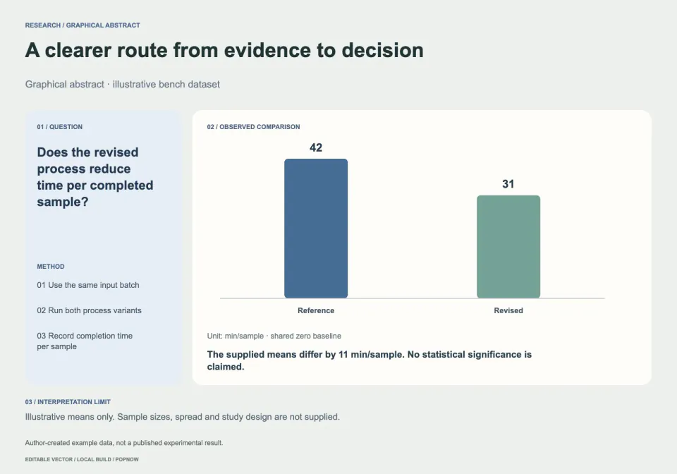
+25Turn a research brief into editable question–method–result artwork with source-linked measurements.
 Image
Seamless Surface Pattern
+25Arrange detailed botanical motifs into a true repeating tile, with a full 3 by 3 seam proof.
 Image
Sketchnote Image Generator
+25Turns an article or notes into one hand-drawn 4:3 sketchnote with exact, checked labels.
 Image
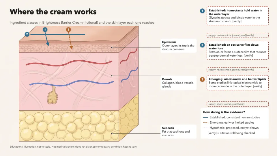
Skincare Science Diagram
+25A skin layer diagram showing where ingredients act, with evidence-styled arrows and a source on every claim.
 Image
Social Cover & Thumbnail Generator
+25One message in, a checked set of OG images, post covers and video thumbnails out, every size exact.
 Image
String Art Portrait
+25Rebuild a portrait as one continuous nail-to-nail thread path with editable pins and numbered line order.
 Image
Surreal Miniature Poster
+25Turn one impossible scale relationship into an editorial poster with editable type and real resolution checks.
 Image
Trading Card Maker
+25A spreadsheet of names and stats in: a matching set of original cards, print-ready at 63 x 88 mm.
 Image
T-Shirt Design Generator
+25Original shirt designs as print-ready transparent PNGs at 300 DPI, plus flat-lay and on-model mockups.
 Image
Two-Ink Risograph Print
+25Separate a photograph into fine two-ink halftones, with a composed headline and real ink plates.
 Image
Watercolor Concept Diagram
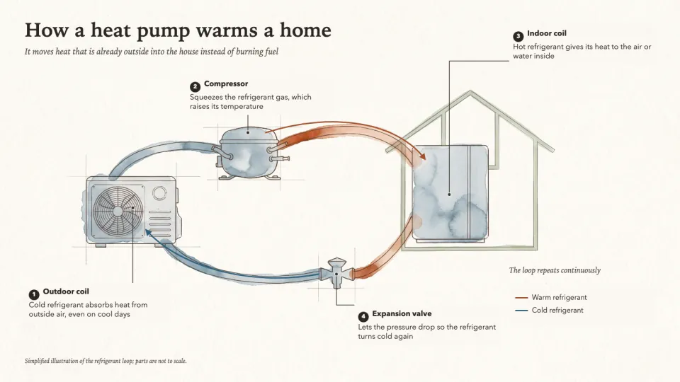
+25A watercolor illustration of how something works, with fine ink lines, clean label lanes and exact callouts.
 Image
Wedding Invitation Suite
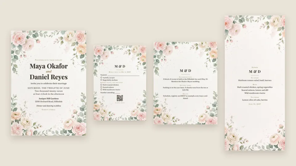
+25One set of wedding details in: invitation, RSVP, details, menu, place cards, sign and e-invites that match.


Questions
Does it map a real place?
The default terrain is synthetic. A supplied grayscale heightmap can describe a chosen surface, but this package does not verify elevations, georeferencing or survey accuracy.
Can I edit the contour lines?
Yes. The SVG contains separate line segments and the JSON records their levels and endpoints. Change density, height remapping, line width or palette in the brief and rebuild.
What costs depend on this workflow?
The procedural default and supplied heightmaps render locally. PopNow is optional for an abstract grayscale source after quote approval; generated imagery must not be presented as measured geography.
What is already packaged in Contour terrain poster?
The domain algorithm and invariant checks. Runnable, editable example parameters. Control meanings, proof interpretation and limits.
Which parts of Contour terrain poster can add a charge?
The procedural default and supplied heightmaps render locally. PopNow is optional for an abstract grayscale source after quote approval; generated imagery must not be presented as measured geography. Connections using a PopNow API key, including API-key MCP connections, spend from the separate API balance in USD. A ChatGPT or Claude connection authorized through OAuth spends website credits. These balances are separate; the quote shown by your connection is the approval basis.
How does Contour terrain poster differ from writing a prompt or my own skill?
The workflow supplies a real scalar field and contour extraction instead of an image merely styled as a map. The height proof and segment ledger make the relationship inspectable.