

What you get
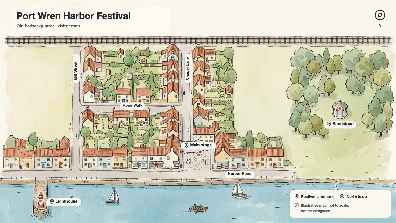
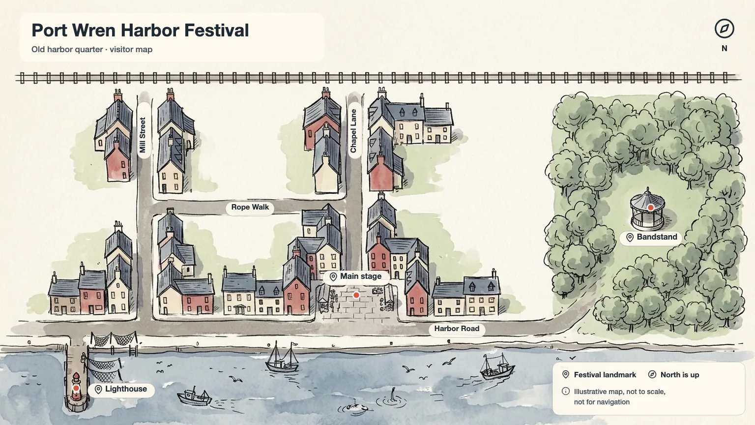
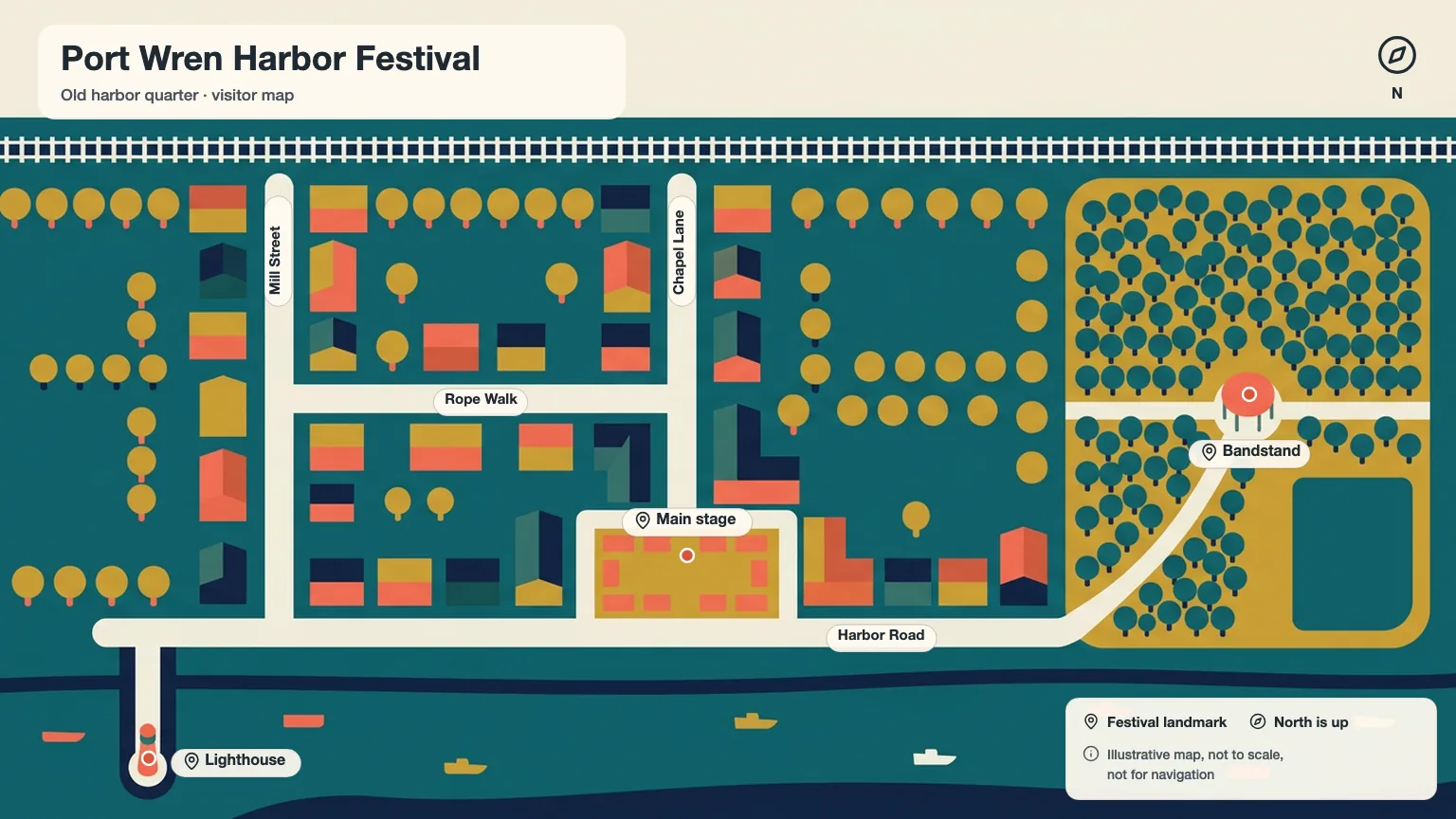
- Three 16:9 illustrated map scenes of the same area
- A geography ledger with sources and pending items
- Labeled maps with street names, legend and disclaimer
- Optional print-size upscale
Good for
- Festival, campus and neighborhood maps
- Travel posts and guidebook pages
- Wall prints and storytelling maps
Not for
- Navigation or emergency maps
- Marking private homes or addresses
- Copying a commercial map's design
How to use it
In Claude or ChatGPT
Use the PopNow skill "Illustrated City Map Maker" (illustrated-city-map) for this: A visitor map of the old harbor quarter for our summer festival, with the three stages and the lighthouse.
In a coding agent
/popnow-illustrated-city-map A visitor map of the old harbor quarter for our summer festival, with the three stages and the lighthouse.
Then try
Use my street sketch as a layout guide so the streets stay right.
Upscale the watercolor version for an A2 print.
What to have ready
- The area, its main streets and orientation
- Verified landmarks and where they are
- A PopNow API key
Similar skills
View all →Black and White Studio Portrait
+3Turn an everyday photo into a calm black-and-white studio portrait that still looks like you.
Blog Post Illustration Set
+3Three matching illustrations for one article, each showing what its passage actually says.
Brand Kit & DESIGN.md Generator
+3A brand kit from a short brief: checked palette, open fonts, SVG logo, mockups and a DESIGN.md agents follow.
Car Cutaway Anatomy Poster
+3A side-view cutaway of a generic car: color-coded systems, numbered markers and round zoom windows.
Chalkboard Infographic Maker
+3A 16:9 chalkboard-style infographic with exact short copy, chalk drawings and one clear reading path.
Cinematic Storyboard Frames
+3Three storyboard contact sheets for one scene, each a different way to shoot it, with continuity kept.
Consistent Concept Art Set
+3A character, a prop and an environment that clearly belong to the same fictional world.
Cute Crayon Doodle Art
+3Lovably clumsy crayon characters on white paper: wobbly lines, scribbled fills, sharp files, sticker cut-outs.
Editorial Line Illustration
+3Airy black-ink illustrations with one accent color for blog headers, newsletters and social cards.
Engraving Style Article Cover
+3One surreal black-ink engraving per essay: crosshatched, edge to edge, its big idea shown as a single scene.
EV Platform Exploded View
+3An electric car lifted apart layer by layer: battery, motors, cabin and body in color, with callouts.
Product Exploded View Poster
+3A clean exploded-view hero image of a product, with exact part labels from your spec table.
Fantasy Map Generator
+3Parchment, atlas or black-line maps of your own world, every name lettered right, grids that line up.
Regional Food Flavor Map
+3A calm painted map of regions, each with a small taste chart on one shared scale and an honest legend.
Ink Sketch Storyboard
+3A rough black-ink storyboard page from a short story: open lines, white space, one beat per panel.
Line Art OG Image Maker
+3Calm link-preview images: off-white card, short black headline and a hand-drawn ink character.
Marine Biology Research Poster
+3A wide research poster around a painted habitat cross-section, with numbered species and a findings chart.
Phone Mockup Generator
+3Your app on a 3D foldable phone that swings open on a soft backdrop, as crisp PNG stills or a fold clip.
Photo Composition Studies
+3Three photographic takes on one subject, each built on a different composition principle.
Sketchnote Image Generator
+3Turns an article or notes into one hand-drawn 4:3 sketchnote with exact, checked labels.
Social Cover & Thumbnail Generator
+3One message in, a checked set of OG images, post covers and video thumbnails out, every size exact.
Questions
Is the map accurate?
The street order, orientation and verified landmark positions follow your sources; buildings and scenery are decorative and distances are not to scale. The labeled map says it is not for navigation.
How are street names added?
As exact text in an overlay after the image is made, from your ledger. Image models misspell names, so the drawings contain no text at all.
Can I use real map data?
Yes, within its license. The map carries the required credit, for example for OpenStreetMap data.
What does it cost?
Three PopNow image tasks, one per style, quoted together before anything runs.